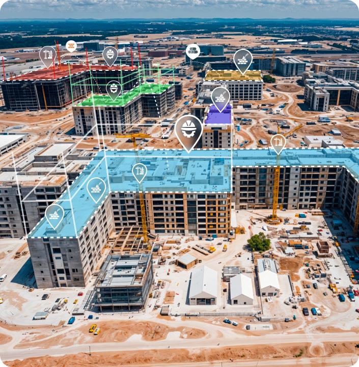

AI-labelled construction site
CRANE · 0.97
WORKER · PPE ✓
REBAR STACK · 0.91
SPATIAL INTELLIGENCE SYSTEM

RoVis

Spatial Intelligence for India’s Construction Sites

Creating real-time digital twins of Indian construction sites, from metro corridors to high-rise towers, through drone vision, semantic scene understanding and spatial AI.

SCANNING · 4 DRONES POINTS 1.42M SLAM LOCK ✓ TWIN SYNCED
01 / THE PROBLEM

Construction sites remain blind environments.

Sites generate massive visual information, yet critical decisions are still made on incomplete, out-of-date evidence.
HOW SITES ARE MONITORED TODAY
01
Manual inspection
Sparse, subjective, walked once a day.
02
Delayed reports
Insight arrives after the decision window closes.
03
Fragmented data
Photos, logs and drawings never fuse into one view.
THE CHALLENGE
The environment changes every day structures evolve, migrant crews rotate, material stacks shift. On a large Indian site, 300+ workers and dozens of subcontractors turn over weekly, and no legacy system keeps a live understanding of it.
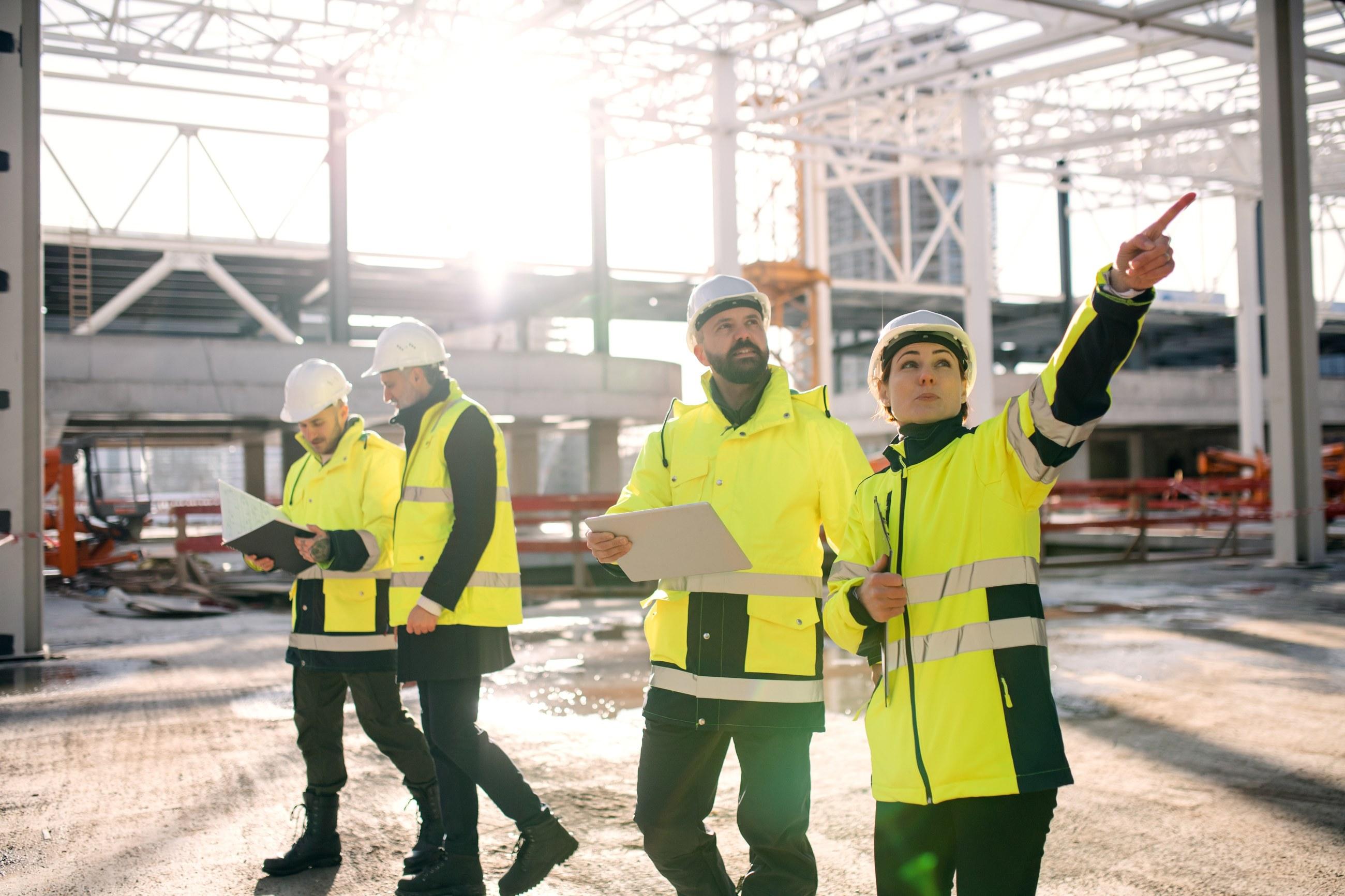
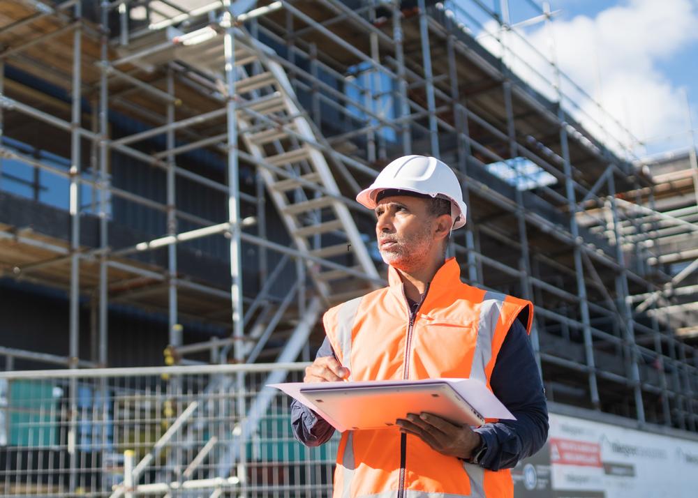
Manual site inspection
MANUAL INSPECTION · DAILY WALK
CONSEQUENCES
Fatal safety risk
~38 fatal site accidents a day (India)
CRITICAL
Cost & schedule overruns
~40% of major infra projects delayed (MoSPI)
CRITICAL
Rework, pilferage & waste
5–10% of total contract value
HIGH
Field–office data lag
Daily progress lag = weeks of delay
HIGH
DELAYED INFRA PROJECTS · INDIA
₹4.8 lakh cr in cost overruns across
1,800+ monitored projects.
02 / OUR SOLUTION

A continuously evolving digital twin of the site.

RoVis fuses visual data into a structured spatial model, then reasons over it converting raw pixels into actionable site intelligence, built for the density and pace of Indian sites.
NOT A MAP - A MODEL
Objects, not pixels
Every element is a semantically labelled entity with state & history.
TEMPORAL
Persistent memory
The twin remembers yesterday, so it can reason about change.
LIVE
Always current
Continuous ingestion keeps the model synced to the real site.
ACTIONABLE
Reasons & recommends
Goes past observation to decision support & next actions.
INGESTS
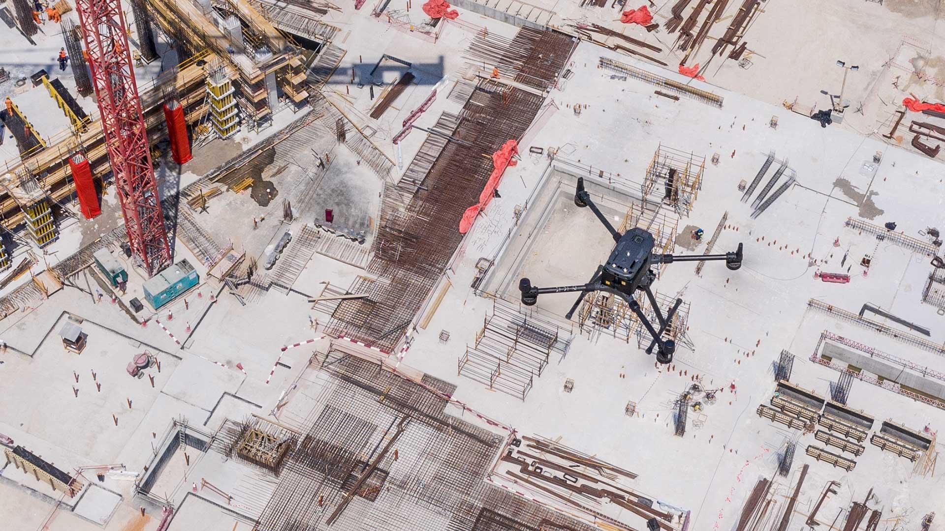
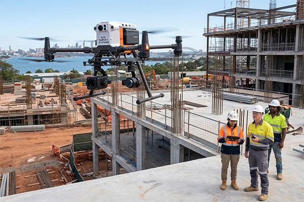
Drone site survey
DRONE CAPTURE · LIVE INPUT
◈ Drone imagery
◈ CCTV & mobile cameras
◈ Multi-view frames
RoVis ENGINE
Spatial
Reasoning
CONVERTS TO
Computer vision
Semantic scene understanding
Spatial mapping & SLAM
AI reasoning & planning
03 / SYSTEM ARCHITECTURE

From pixels to decisions , a five-layer pipeline.

STREAMING · 30 FPS
EDGE + CLOUD HYBRID
L1
Input
DronesCCTV camerasMobile cameras
L2
Perception
Object detectionSemantic segmentationInstance tracking
L3 · CORE
Spatial Intelligence
Semantic SLAMScene reconstructionLocalization
L4
Digital Twin Engine
Persistent 3D stateTemporal memoryObject registry
L5
Decision Intelligence
Hazard reasoningResource trackingPlanning & actions
◦ CLOSED-LOOP · TWIN STATE FEEDS PERCEPTION PRIORS ◦ LATENCY < 200 ms EDGE PATH ◦ RESILIENT ON 4G / INTERMITTENT SITE LINKS
04 / DIGITAL TWIN

A living model of the entire site.

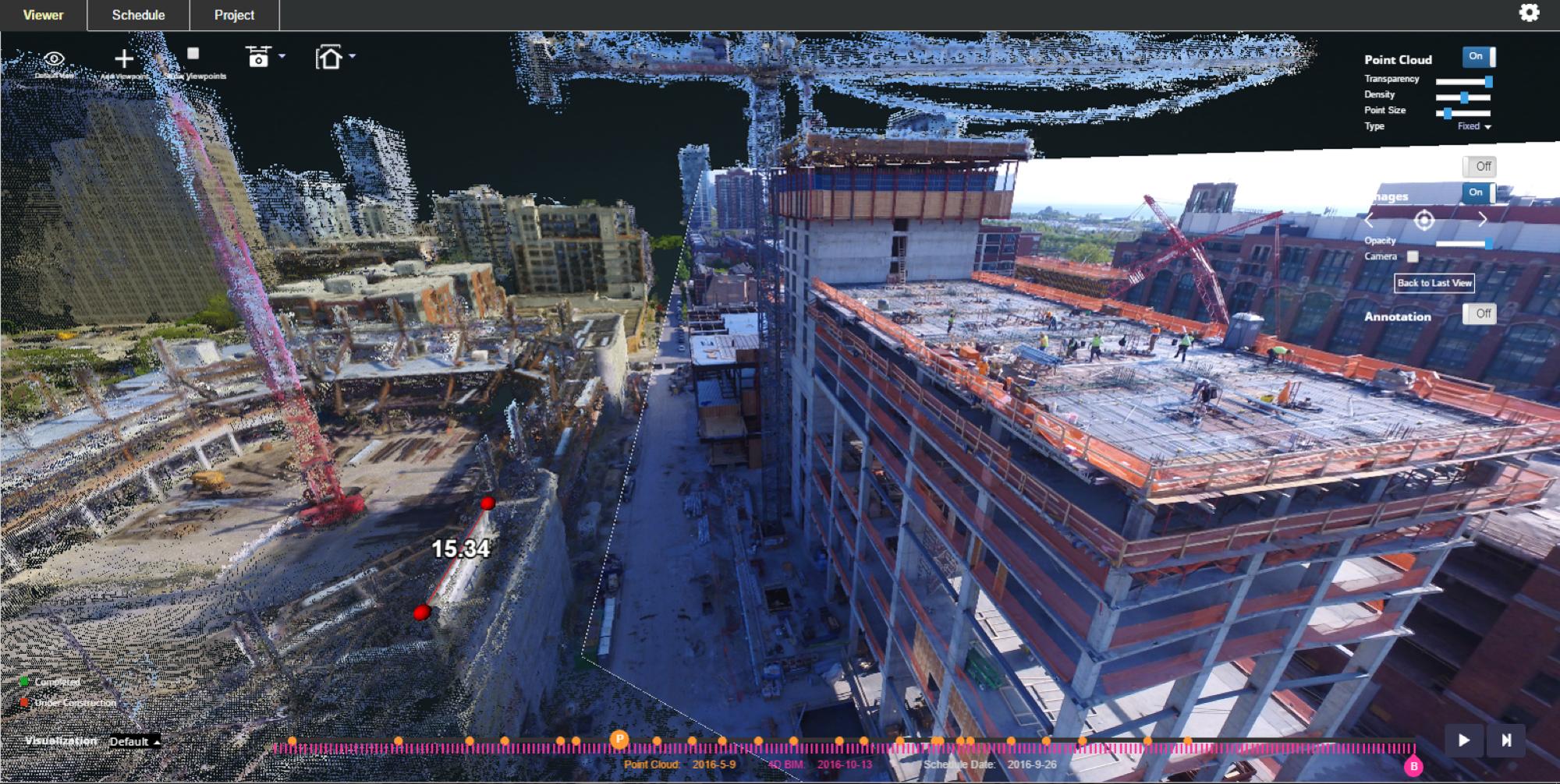
Multi-view reconstruction fuses every frame into one persistent, semantically labelled 3D twin.

RECONSTRUCTION PIPELINE
01
Structure-from-motion
Camera poses recovered from overlapping drone frames.
02
Dense point-cloud fusion
Depth maps merged into a unified spatial frame.
03
Semantic labelling
Each cluster classified & registered as a twin object.
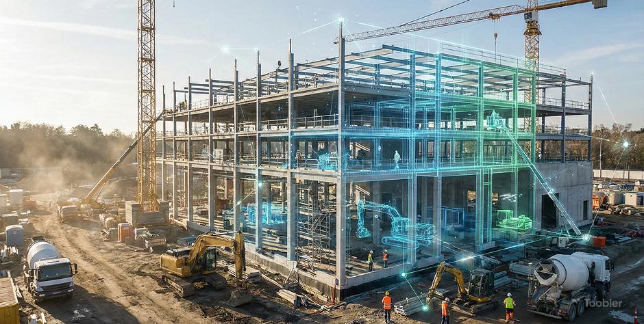
Semantic digital twin overlay
MULTI-VIEW RECONSTRUCTION · SEMANTIC TWIN
STRUCTURE · CORE-A
EQUIPMENT · EXCAVATOR
TWIN OBJECT REGISTRY
Structures128
Workers46
Equipment12
Material stacks31
Site zones9
Reconstruction1.42M pts · 2.1cm RMSE
05 / CAPABILITIES

The twin, put to work.

Safety, resources and progress every capability reasons over the same live spatial model. Every worker is continuously checked against BOCW safety norms: helmets and hi-vis, crane swing radius, edge and excavation exclusion zones.
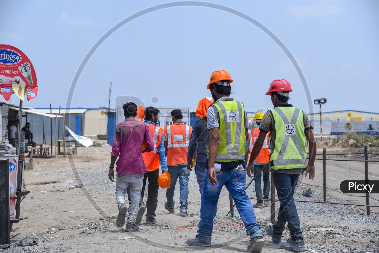
Workers near heavy machinery
TWIN VIEWPORT · SAFETY LAYER
⚠ Missing helmet
⚠ Crane radius
⚠ Unsafe proximity
● PPE OK   ● WARNING   ● CRITICAL
HAZARD DETECTION · LIVE FEED ● 3 ACTIVE
CRITICAL0.96
Missing hard-hat detected
ZONE POUR-B · WKR-041 · 12s ago
WARNING0.88
Worker–excavator proximity
2.1 m · below 5 m threshold
CRITICAL0.93
Restricted-zone entry
CRANE SWING RADIUS · WKR-019
RESOURCE INTELLIGENCE
Every material, machine & crew spatially tracked.
Tracks steel and cement stock, machinery idle-time and crew density, and flags overnight material pilferage, a persistent drain on Indian sites.
LOW HIGH · WORKFORCE DENSITY
MACHINERY
71%
12 units · 3 idle
WORKFORCE
46
across 9 zones
MATERIALS
31
stacks tracked
PROGRESS → AI PLANNING
From monitoring to decision support.
4D PROGRESS · SAME SITE OVER TIME
COMPLETION
78%+14%/30d
T-30d28%
T-20d47%
T-10d64%
TODAY78%
RECOMMEND · WORKFORCEconf 0.91
Move 6 crew to Level-4 slab to recover the 3-day delay.
RECOMMEND · PROCUREMENTconf 0.87
Reorder cement now , stock hits zero in 4 days.
RECOMMEND · NEXT TASKconf 0.84
Pour the east-wing slab before Thursday’s monsoon window closes.
06 / AGENTIC AI

Ask your site anything.

A natural-language agent sits on top of the twin. Ask in plain English, it navigates the 3D model, analyses it, and answers with located, actionable results.

RoVis logo RoVis AGENT reasoning over 1.42M-pt twin
Where are all workers without hard-hats right now?
3 workers flagged. WKR-041 in Zone Pour-B, WKR-017 & WKR-052 near the North yard, all inside an active crane radius.
Dispatch alertShow on map
Which equipment has been idle over 2 hours?
2 excavators idle 3h 12m in the North yard , est. ₹48k in lost machine-hours today. Reassign to Level-4 excavation?
Ask about the site… ↑
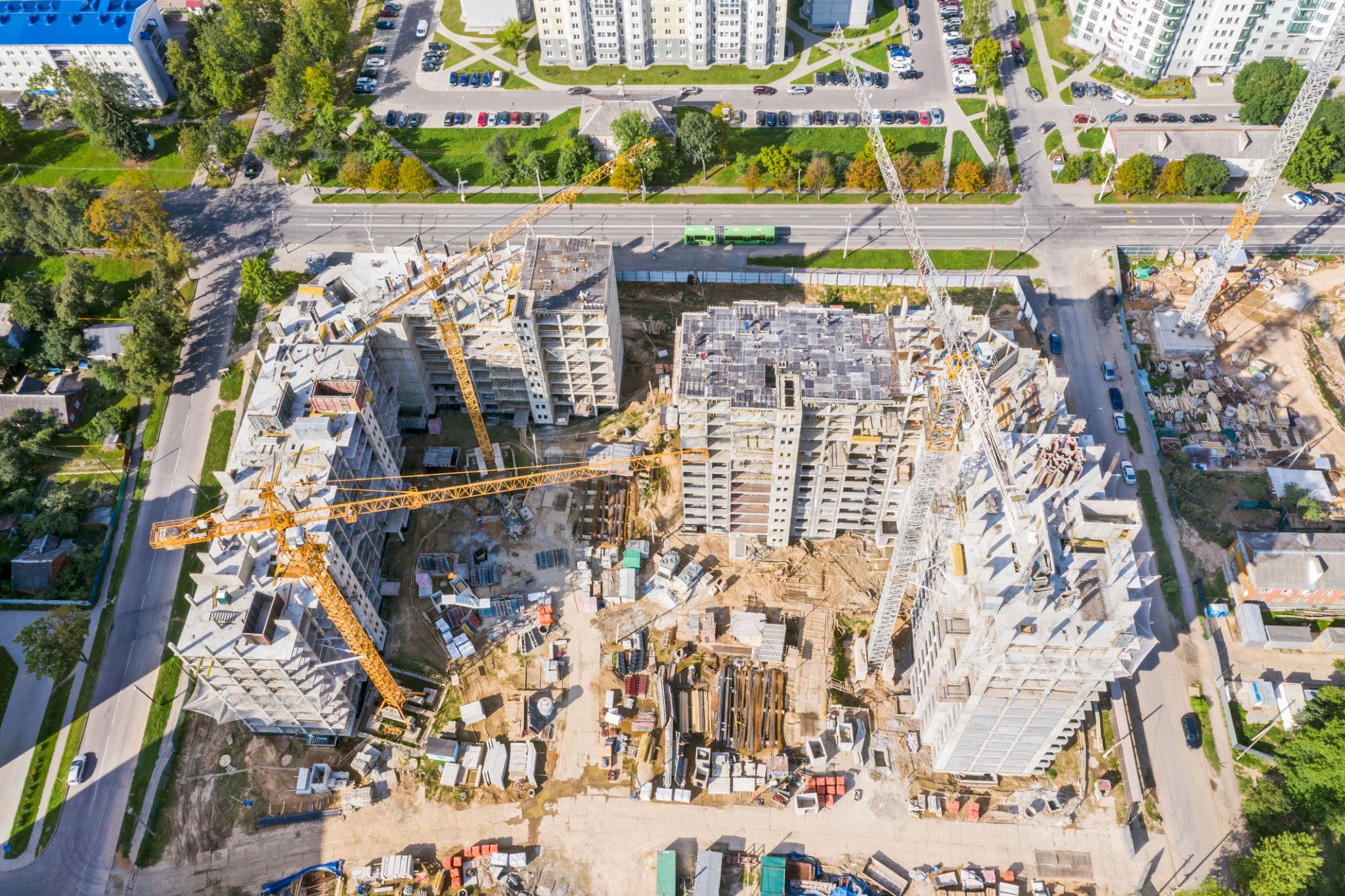
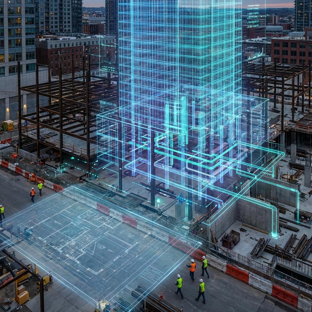
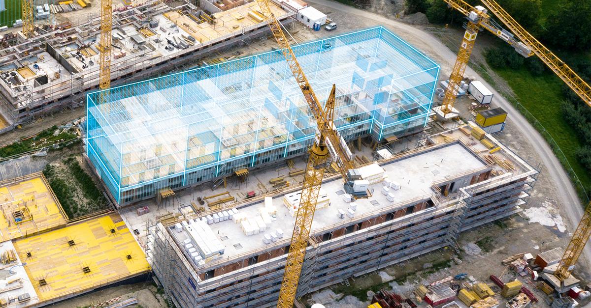
Aerial digital twin overlay
AGENT VIEW · ANSWERS LOCATED ON TWIN
01
Understands
Parses plain English.
02
Queries
Pulls twin objects.
03
Reasons
Spatial + temporal.
04
Acts
One-click action.
07 / EXECUTION LAYER

The map is the beginning not the end.

Once the twin exists, RoVis turns every insight into a concrete action on the ground , routed to the right person, automatically.

EXECUTION PIPELINE DETECT→ DECIDE→ DISPATCH→ VERIFY↻
Safety triggers
FIRES ON VIOLATION
Push + SMS alert (Hindi / regional) to supervisor with location & snapshot
Auto stop-work order for critical breaches
On-site siren / beacon in the affected zone
Escalates up the chain if unacknowledged in 60s
Site management
RUNS THE DAILY OP
Auto daily progress report to office , no manual walks required
Work orders dispatched to crews with exact location + task
Crew & equipment reallocation pushed to foremen
Auto-procurement when stock crosses a threshold
As-built reality synced back to BIM & schedule
Attendance & productivity from on-site presence
Autonomous loop
CLOSES & VERIFIES
Drone re-tasked to re-scan the changed zone
Verification pass confirms the action was completed
Twin updates → next recommendation issued
08 / EXPECTED IMPACT

Four outcomes, one spatial brain.

Safety
01
Faster hazard response
Located, prioritized alerts the moment a risk appears — cutting exposure to the ~38 site deaths India records each day.
Efficiency
02
Less idle & rework
Resources routed to where they create value , cutting the 5–10% lost to rework and pilferage.
Visibility
03
Continuous awareness
Daily reality capture cuts survey time ~60% vs manual walks.
Planning
04
Data-driven decisions
AI scheduling grounded in real site state , recovering weeks lost to labour gaps and the monsoon.
Smart-city digital twin
CLOSING VISION

Every construction site deserves a digital brain.

RoVis transforms visual information into spatial intelligence — starting on the site, scaling to the city.

Try the live demo → Request a demo Back to top
Autonomous drone patrols Infrastructure monitoring Smart factories Industrial digital twins Smart-city integration